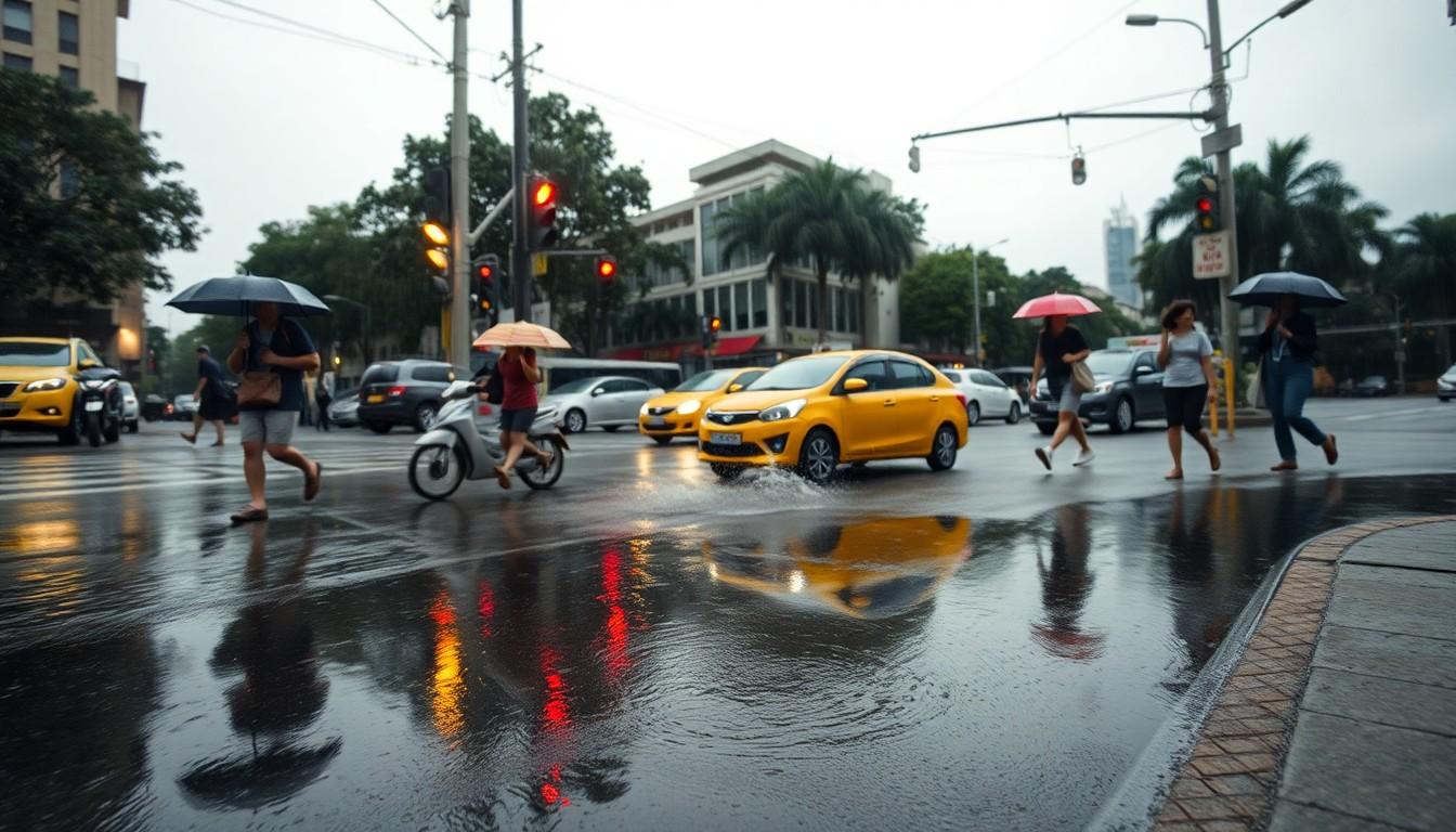
The Thai Meteorological Department warns of worsening monsoon conditions bringing heavy rain, floods, and hazardous sea conditions, impacting travel and safety across the country.
Thailand’s rainy season is set to intensify again today, with the Thai Meteorological Department warning of heavy rain across 21 provinces and the eastern seaboard facing the highest risk of very heavy downpours. For travellers, that means a greater chance of flooded roads, delayed journeys and rough seas, especially if you are heading to coastal destinations or planning island transfers.
The weather pattern is being driven by a strengthened monsoon trough stretching across Myanmar, Laos and upper Vietnam, alongside a strong south-westerly monsoon over the Andaman Sea, Thailand and the Gulf. The department says this combination should bring widespread showers to much of the country, with the upper North, the North-east and the East most exposed to sudden bursts of rain and localised flooding.
In practical terms, visitors should be especially cautious in Chanthaburi and Trat, where very heavy rain is possible, and in low-lying or hillside areas where flash flooding and run-off can develop quickly. The Thai Meteorological Department has also warned of landslide risks near waterways and in areas with steep ground, and has told boat operators to avoid thunderstorms. Small boats in the upper Andaman Sea are advised to stay ashore.
Sea conditions are also a concern for anyone travelling by ferry or speedboat. The department says waves in the upper Andaman Sea may reach two to three metres, rising above three metres in storms, while the eastern waters could also become hazardous during thundery weather. Around Bangkok and nearby provinces, thunderstorms are forecast over a wide area, so travellers should allow extra time for road journeys and keep an eye on official weather updates before heading out.
Source Reference Map
Inspired by headline at: [1]
Sources by paragraph:
Source: Noah Wire Services
Noah Fact Check Pro
The draft above was created using the information available at the time the story first
emerged. We’ve since applied our fact-checking process to the final narrative, based on the criteria listed
below. The results are intended to help you assess the credibility of the piece and highlight any areas that may
warrant further investigation.
Freshness check
Score:
6
Notes:
The article references a forecast from the Thai Meteorological Department (TMD) dated 26 July 2026, which is over two weeks old. The TMD's latest available forecast is from 21 June 2026, indicating that the referenced forecast may be outdated. Additionally, the article's publication date is not provided, making it difficult to assess the timeliness of the information. The lack of a clear publication date raises concerns about the freshness of the content.
Quotes check
Score:
5
Notes:
The article includes direct quotes attributed to the Thai Meteorological Department. However, these quotes cannot be independently verified through the provided sources. The absence of verifiable sources for these quotes diminishes their credibility.
Source reliability
Score:
4
Notes:
The primary source, The Thaiger, is a niche news outlet with limited reach and may not be considered a major news organisation. The article relies heavily on a single source, which raises concerns about the independence and reliability of the information presented. The lack of corroboration from other reputable sources further diminishes the overall reliability of the content.
Plausibility check
Score:
7
Notes:
The article's claims about heavy rain forecasts and associated risks are plausible and align with typical monsoon patterns in Thailand. However, the reliance on outdated and unverified sources introduces uncertainty regarding the accuracy of the specific details provided.
Overall assessment
Verdict (FAIL, OPEN, PASS): REVIEW
Confidence (LOW, MEDIUM, HIGH): MEDIUM
Summary:
The article presents plausible claims about heavy rain forecasts in Thailand but relies on outdated and unverified sources, including a press release from the Thai Meteorological Department dated 26 July 2026 and a single news outlet, The Thaiger. The lack of corroboration from other reputable sources and the absence of independently verifiable quotes diminish the overall reliability of the content. Given these concerns, a thorough review and additional verification are recommended before publication.