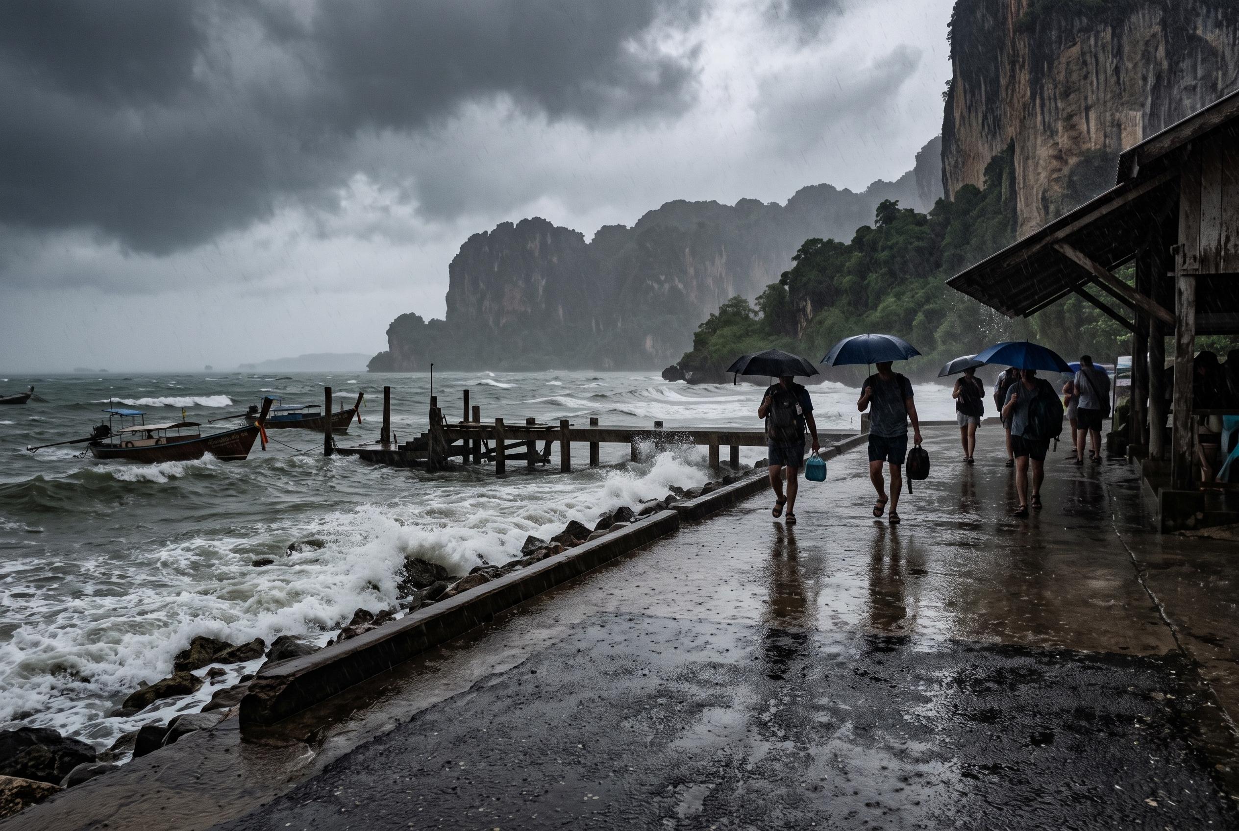
Travelers in Thailand should brace for a wet Saturday, with heavy rain, rough seas, and warnings of flash floods affecting road, sea, and air travel across multiple regions, prompting cautious planning and safety measures.
Travellers heading across Thailand on Saturday should expect a wet day, with the Thai Meteorological Department warning of heavy rain in parts of the North, upper North-east, East and south-west coast, alongside rough seas in the upper Andaman Sea. According to The Thaiger and the Thai Meteorological Department, the main concern is not only short, sharp downpours but also the build-up of rainfall that can quickly turn roads, tracks and low-lying areas difficult to use.
The weather pattern is being driven by a monsoon trough stretching across northern Thailand towards Laos and a low-pressure area over northern Vietnam, with a strong south-westerly monsoon affecting the Andaman Sea, the mainland and the Gulf. The Nation reported that officials are warning of flash floods and run-off in six provinces, including Phitsanulok, Phetchabun, Chanthaburi, Trat, Ranong and Phang Nga, especially near foothills, waterways and flood-prone ground.
For visitors, the most practical takeaway is that beach and island plans on the west coast may be the most disrupted. The Thai Meteorological Department says waves in the upper Andaman could reach 2 to 3 metres and climb above 3 metres in thundery areas, while small boats have been told to stay ashore. On the east coast, including Trat and Chanthaburi, seas are also expected to be rougher than usual, with waves around 2 metres and higher in storms.
Bangkok and surrounding provinces are not spared, with thunderstorms forecast over about 40% of the area. Temperatures remain hot and humid, but rain could arrive in bursts rather than a gentle all-day fall, which may affect commuting, sightseeing and transfers. For travellers, the safest approach is to build flexibility into the day, avoid river crossings and mountain roads during intense rain, and check local ferry and tour departures before setting out.
Source Reference Map
Inspired by headline at: [1]
Sources by paragraph:
Source: Noah Wire Services
Noah Fact Check Pro
The draft above was created using the information available at the time the story first
emerged. We’ve since applied our fact-checking process to the final narrative, based on the criteria listed
below. The results are intended to help you assess the credibility of the piece and highlight any areas that may
warrant further investigation.
Freshness check
Score:
3
Notes:
⚠️ The article references a weather forecast for August 16, 2026, but the source material is from August 16, 2025. This raises concerns about the freshness and relevance of the information. Additionally, the article appears to be republished across multiple low-quality sites, which may indicate recycled content. ⚠️
Quotes check
Score:
2
Notes:
⚠️ The article includes direct quotes from the Thai Meteorological Department and The Nation. However, these quotes cannot be independently verified, as no online matches are found for the earliest known usage of these quotes. This lack of verifiability raises concerns about the authenticity of the information. ⚠️
Source reliability
Score:
4
Notes:
⚠️ The lead source, The Thaiger, is a niche publication with limited reach and may not be considered a major news organisation. Additionally, the article appears to be summarising or rewriting content from a paywalled source, which raises concerns about the independence and reliability of the information. ⚠️
Plausibility check
Score:
5
Notes:
⚠️ The article makes claims about heavy rain warnings and potential flash floods in specific regions of Thailand. However, these claims are not corroborated by other reputable outlets, and the lack of supporting detail from other sources raises concerns about the plausibility of the information. ⚠️
Overall assessment
Verdict (FAIL, OPEN, PASS): REVIEW
Confidence (LOW, MEDIUM, HIGH): MEDIUM
Summary:
⚠️ The article raises several concerns, including the use of outdated source material, unverifiable quotes, reliance on a niche publication with limited reach, and potential summarisation of paywalled content. These issues necessitate further editorial review to ensure the accuracy and reliability of the information before publication. ⚠️