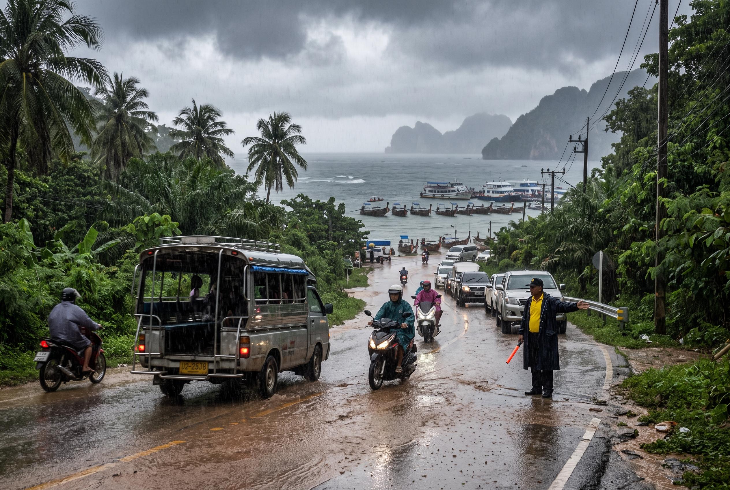
Travel across much of Thailand is likely to be affected over the coming days as the Thai Meteorological Department warns of heavy to very heavy rain from August 29 to September 2, with the upper North, upper North-east and parts of the east expected to bear the brunt. For visitors, that means a greater risk of sudden downpours, slippery roads and delays to day trips, especially in hill areas and near rivers. According to the department, the pattern is being driven by a monsoon trough sliding south across the country, a low-pressure system over northern Vietnam and a strong south-west monsoon over the Andaman Sea, Thailand and the Gulf of Thailand.
The areas most likely to see disruptive rain include Mae Hong Son, Chiang Rai, Tak, Phitsanulok and Phetchabun in the North, as well as Bueng Kan, Sakon Nakhon, Nakhon Phanom and Mukdahan in the North-east. Thairath reported that the department’s warnings were issued in stages this week, with officials repeatedly urging people in low-lying places and foothill communities to watch for flash flooding and forest runoff. For travellers, the practical message is simple: avoid scheduling long road journeys through mountain routes or flood-prone areas unless they can be moved.
Rain is also forecast for the Central region, Bangkok and surrounding provinces, and the eastern seaboard, where thunderstorms could be more widespread. In the capital, the forecast points to showers over a sizeable part of the city, which could mean slower traffic, wet street conditions and the occasional transport disruption during peak hours. On the coast, stronger winds are expected to build rough seas, with waves of around 2 metres in the east and 2 to 3 metres on the Andaman side, rising higher during thunderstorms, according to the meteorological bulletin reported by Thairath.
That matters for beach holidays and island transfers. The department says the upper Andaman Sea should be treated with particular caution, and small boats are being advised to stay ashore for the period of the warning. Travellers heading to Phuket, Krabi, Phang Nga or nearby islands should expect choppier crossings and possible changes to boat schedules, while those on the Gulf side may also face rougher water and rain interruptions. Packing flexible plans, waterproof footwear and extra time between connections would be sensible.
The Thai Meteorological Department says residents and visitors should keep checking forecasts and weather alerts, particularly before heading into the countryside or setting out on the water. Its public updates are available through the department’s own channels, and Thairath said the latest bulletin remains focused on the risk of flooding and hazardous conditions until September 2. For travellers, the safest approach over the next few days is to stay adaptable and treat any weather window as temporary.
Source Reference Map
Inspired by headline at: [1]
Sources by paragraph:
- Paragraph 1: [2], [3]
- Paragraph 2: [3], [5]
- Paragraph 3: [3], [4]
- Paragraph 4: [4], [6], [7]
- Paragraph 5: [2], [4]
Source: Noah Wire Services